

27° 17° 81 ° 63 °
15
59
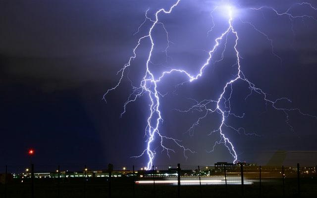
Thunderstorms Thunderstorms 60 17 27 63 81 Thunderstorms NE 28 15 60 20 n/a Very Poor 05:31 18:13 N

22° 12° 72 ° 54 °
15
59
partly cloudy partly cloudy 45 12 22 54 72 partly cloudy N 9 5 0 0 n/a Very Poor 05:30 18:14 NE
29° 13° 84 ° 55 °
15
59
Showers and Thundershowers Showers and Thundershowers 35 13 29 55 84 Showers and Thundershowers WNW 9 5 0 0 n/a Very Poor 05:29 18:14 N

30° 15° 86 ° 59 °
15
59
clear skies clear skies 30 15 30 59 86 clear skies WNW 19 10 0 0 n/a Very Poor 05:28 18:15 WNW
31° 14° 88 ° 57 °
15
59
clear skies clear skies 35 14 31 57 88 clear skies NW 19 10 0 0 n/a Very Poor 05:27 18:16 NNE
| Popular Cities | Today | Thursday | Friday |
|---|---|---|---|
| Pretoria | 27° 17° 81 ° 63 ° |
22° 12° 72 ° 54 ° |
29° 13° 84 ° 55 ° |
| Johannesburg | 25° 16° 77 ° 61 ° |
19° 10° 66 ° 50 ° |
27° 12° 81 ° 54 ° |
| Cape Town |  23° 15° 73 ° 59 ° 23° 15° 73 ° 59 ° |
19° 14° 66 ° 57 ° |
|
| Durban | 21° 16° 70 ° 61 ° |
22° 15° 72 ° 59 ° |
24° 15° 75 ° 59 ° |
| Bloemfontein | 31° 10° 88 ° 50 ° |
28° 9° 82 ° 48 ° |
31° 12° 88 ° 54 ° |
| Polokwane | 21° 15° 70 ° 59 ° |
22° 10° 72 ° 50 ° |
29° 11° 84 ° 52 ° |
| Upington |  34° 16° 93 ° 61 ° 34° 16° 93 ° 61 ° |
35° 20° 95 ° 68 ° |
30° 12° 86 ° 54 ° |
| Port Elizabeth |  20° 6° 68 ° 43 ° 20° 6° 68 ° 43 ° |
24° 12° 75 ° 54 ° |
22° 16° 72 ° 61 ° |
| East London | 19° 10° 66 ° 50 ° |
24° 13° 75 ° 55 ° |
24° 16° 75 ° 61 ° |
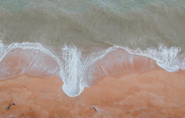
Difficulty in navigation at sea is likely. Small vessels and personal watercraft (e.g. kayaks) may be at risk of taking on water and capsizing in a locality. Localised disruptions to small harbours, ports and beachfront activities is expected. Build-up of sand on coastal routes are likely. Warning
Difficulty in navigation at sea is likely. Small vessels and personal watercraft (e.g. kayaks) may be at risk of taking on water and capsizing in a locality. Localised disruptions to small harbours, ports and beachfront activities is expected. Build-up of sand on coastal routes are likely. Warning
Difficulty in navigation at sea is likely. Small vessels and personal watercraft (e.g. kayaks) may be at risk of taking on water and capsizing in a locality. Localised disruptions to small harbours, ports and beachfront activities is expected. Build-up of sand on coastal routes are likely. Warning
Difficulty in navigation at sea is likely. Small vessels and personal watercraft (e.g. kayaks) may be at risk of taking on water and capsizing in a locality. Localised disruptions to small harbours, ports and beachfront activities is expected. Build-up of sand on coastal routes are likely. Warning
Difficulty in navigation at sea is likely. Small vessels and personal watercraft (e.g. kayaks) may be at risk of taking on water and capsizing in a locality. Localised disruptions to small harbours, ports and beachfront activities is expected. Build-up of sand on coastal routes are likely. Warning
Difficulty in navigation at sea is likely. Small vessels and personal watercraft (e.g. kayaks) may be at risk of taking on water and capsizing in a locality. Localised disruptions to small harbours, ports and beachfront activities is expected. Build-up of sand on coastal routes are likely. Warning
Difficulty in navigation at sea is likely. Small vessels and personal watercraft (e.g. kayaks) may be at risk of taking on water and capsizing in a locality. Localised disruptions to small harbours, ports and beachfront activities is expected. Build-up of sand on coastal routes are likely. Warning
Difficulty in navigation at sea is likely. Small vessels and personal watercraft (e.g. kayaks) may be at risk of taking on water and capsizing in a locality. Localised disruptions to small harbours, ports and beachfront activities is expected. Build-up of sand on coastal routes are likely. Warning
Difficulty in navigation at sea is likely. Small vessels and personal watercraft (e.g. kayaks) may be at risk of taking on water and capsizing in a locality. Localised disruptions to small harbours, ports and beachfront activities is expected. Build-up of sand on coastal routes are likely. Warning
Difficulty in navigation at sea is likely. Small vessels and personal watercraft (e.g. kayaks) may be at risk of taking on water and capsizing in a locality. Localised disruptions to small harbours, ports and beachfront activities is expected. Build-up of sand on coastal routes are likely. Warning
Conditions are such that the FDI index is above 75. Under these conditions fires may develop and spread rapidly, resulting in damage to property and possible loss of human and/or animal life. Warning
Conditions are such that the FDI index is above 75. Under these conditions fires may develop and spread rapidly, resulting in damage to property and possible loss of human and/or animal life. Warning
Conditions are such that the FDI index is above 75. Under these conditions fires may develop and spread rapidly, resulting in damage to property and possible loss of human and/or animal life. Warning
Conditions are such that the FDI index is above 75. Under these conditions fires may develop and spread rapidly, resulting in damage to property and possible loss of human and/or animal life. Warning
Difficulty in navigation at sea is likely. Small vessels and personal watercraft (e.g. kayaks) may be at risk of taking on water and capsizing in a locality. Localised disruptions to small harbours, ports and beachfront activities is expected. Build-up of sand on coastal routes are likely. Warning
Difficulty in navigation at sea is likely. Small vessels and personal watercraft (e.g. kayaks) may be at risk of taking on water and capsizing in a locality. Localised disruptions to small harbours, ports and beachfront activities is expected. Build-up of sand on coastal routes are likely. Warning
Difficulty in navigation at sea is likely. Small vessels and personal watercraft (e.g. kayaks) may be at risk of taking on water and capsizing in a locality. Localised disruptions to small harbours, ports and beachfront activities is expected. Build-up of sand on coastal routes are likely. Warning
Difficulty in navigation at sea is likely. Small vessels and personal watercraft (e.g. kayaks) may be at risk of taking on water and capsizing in a locality. Localised disruptions to small harbours, ports and beachfront activities is expected. Build-up of sand on coastal routes are likely. Warning
Difficulty in navigation at sea is likely. Small vessels and personal watercraft (e.g. kayaks) may be at risk of taking on water and capsizing in a locality. Localised disruptions to small harbours, ports and beachfront activities is expected. Build-up of sand on coastal routes are likely. Warning
Difficulty in navigation at sea is likely. Small vessels and personal watercraft (e.g. kayaks) may be at risk of taking on water and capsizing in a locality. Localised disruptions to small harbours, ports and beachfront activities is expected. Build-up of sand on coastal routes are likely. Warning
Difficulty in navigation at sea is likely. Small vessels and personal watercraft (e.g. kayaks) may be at risk of taking on water and capsizing in a locality. Localised disruptions to small harbours, ports and beachfront activities is expected. Build-up of sand on coastal routes are likely. Warning
Difficulty in navigation at sea is likely. Small vessels and personal watercraft (e.g. kayaks) may be at risk of taking on water and capsizing in a locality. Localised disruptions to small harbours, ports and beachfront activities is expected. Build-up of sand on coastal routes are likely. Warning
Difficulty in navigation at sea is likely. Small vessels and personal watercraft (e.g. kayaks) may be at risk of taking on water and capsizing in a locality. Localised disruptions to small harbours, ports and beachfront activities is expected. Build-up of sand on coastal routes are likely. Warning
Difficulty in navigation at sea is likely. Small vessels and personal watercraft (e.g. kayaks) may be at risk of taking on water and capsizing in a locality. Localised disruptions to small harbours, ports and beachfront activities is expected. Build-up of sand on coastal routes are likely. Warning

SAWS is proud to announce the launch of the new marine website. The highlights of the site include the recently operational, high-resolution Storm Surge and Wave Forecast models